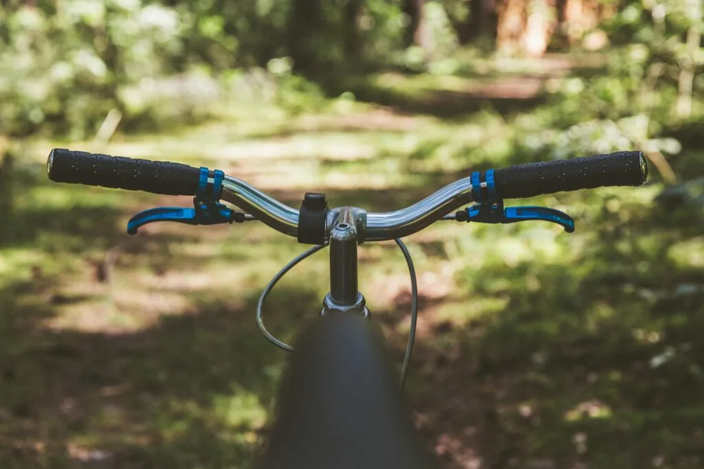
The Ridgeway spans 87 miles (140 km) across southern England — Britain's oldest road. For cyclists, it offers a challenging and rewarding ride through open downland, ancient farmland, woodland, and village tracks, with sweeping views across the Chilterns and the North Wessex Downs throughout.
Route Overview
The trail runs from Overton Hill near Avebury, Wiltshire, to Ivinghoe Beacon, Buckinghamshire. The route divides naturally into two distinct halves at Streatley-on-Thames.
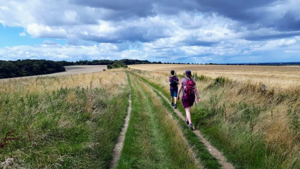
The western half (Avebury to Streatley) follows wide, open tracks across chalk downland with relatively gentle gradients. Key highlights include Barbury Castle, the Uffington White Horse, and Wayland's Smithy.
The eastern half (Streatley to Ivinghoe) is more wooded, hillier, and technically demanding, with steeper climbs and narrower, more rutted tracks through the Chilterns. This section requires greater fitness and bike-handling skill.
Riding Experience
Difficulty
The trail is rated moderate to challenging. Surface conditions vary considerably — from smooth bridleways and grassy tracks to rutted chalk paths that become slippery in wet weather. The western half is generally more accessible; the eastern half demands greater fitness and technical ability.
Best Bikes
Mountain bikes and gravel bikes are the most suitable choices for the full trail. Road bikes and hybrid bikes are not recommended — the off-road terrain and variable surfaces make them unsuitable for much of the route.
Duration
Strong riders can complete the full 87-mile trail in 2 to 3 days. The trail also lends itself well to shorter day rides — access points at villages and train stations allow you to join or leave the route at multiple points along the way.
Practical Tips
Access & Transport
Rail stations at Goring & Streatley, Tring, and Wendover provide useful entry points for day rides or multi-day trips with public transport connections. Tring and Wendover are well served by trains from London Euston and Marylebone.
Navigation
The trail is marked throughout by distinctive acorn waymarkers. However, navigation can be tricky in places — downloading our section guides before you set off will help keep you on track. A GPS device or phone mount is strongly recommended.
Facilities
Villages along the route provide pubs and cafés for refreshment stops, but facilities are more sparse than on urban cycle routes. Plan your water stops carefully — especially on the western half, which crosses long open stretches between settlements. Bike shops require advance planning.
Cycling Restrictions
Cycling is permitted on most of the western section (Avebury to Streatley), which is a legal byway open to all traffic. The eastern section (Streatley to Ivinghoe) is mostly bridleways and footpaths — cycling is not permitted on footpath sections. Check our section guides for specific access information before riding.